Consultancy Services
Our consultancy services provide pragmatic, science-based guidance to support effective ecological outcomes across Victoria.
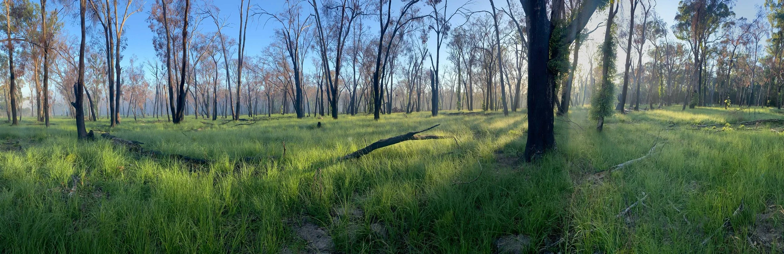
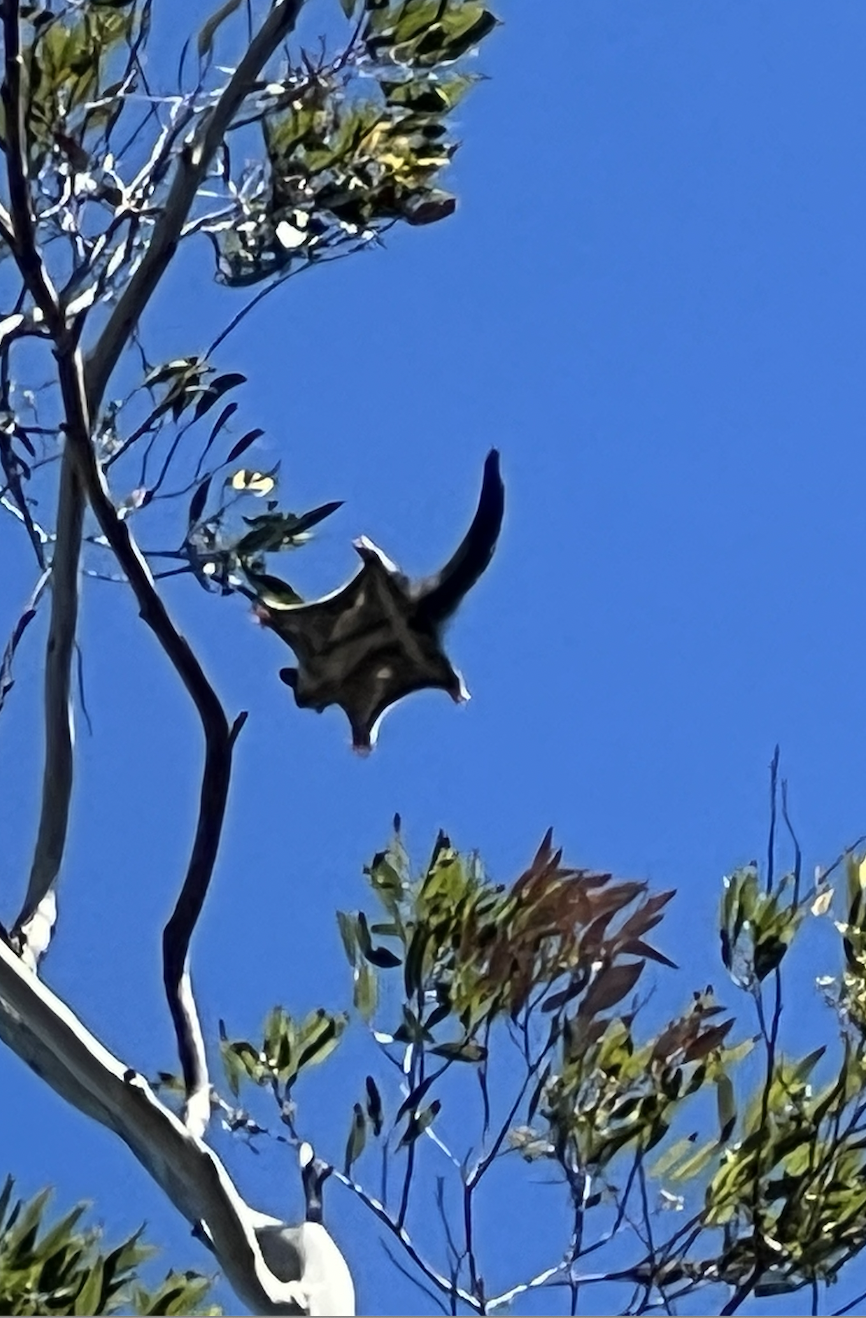
Flora and Fauna Surveys
Using best-practice methodologies aligned with local, state and Commonwealth guidelines, our flora and fauna surveys deliver robust, field-based ecological data to support informed environmental decision making.
Undertake both targeted and general flora and fauna surveys
Work across a broad range of habitat types
Assess key ecological constraints early in the process
Inform the protection and enhancement of environmental assets
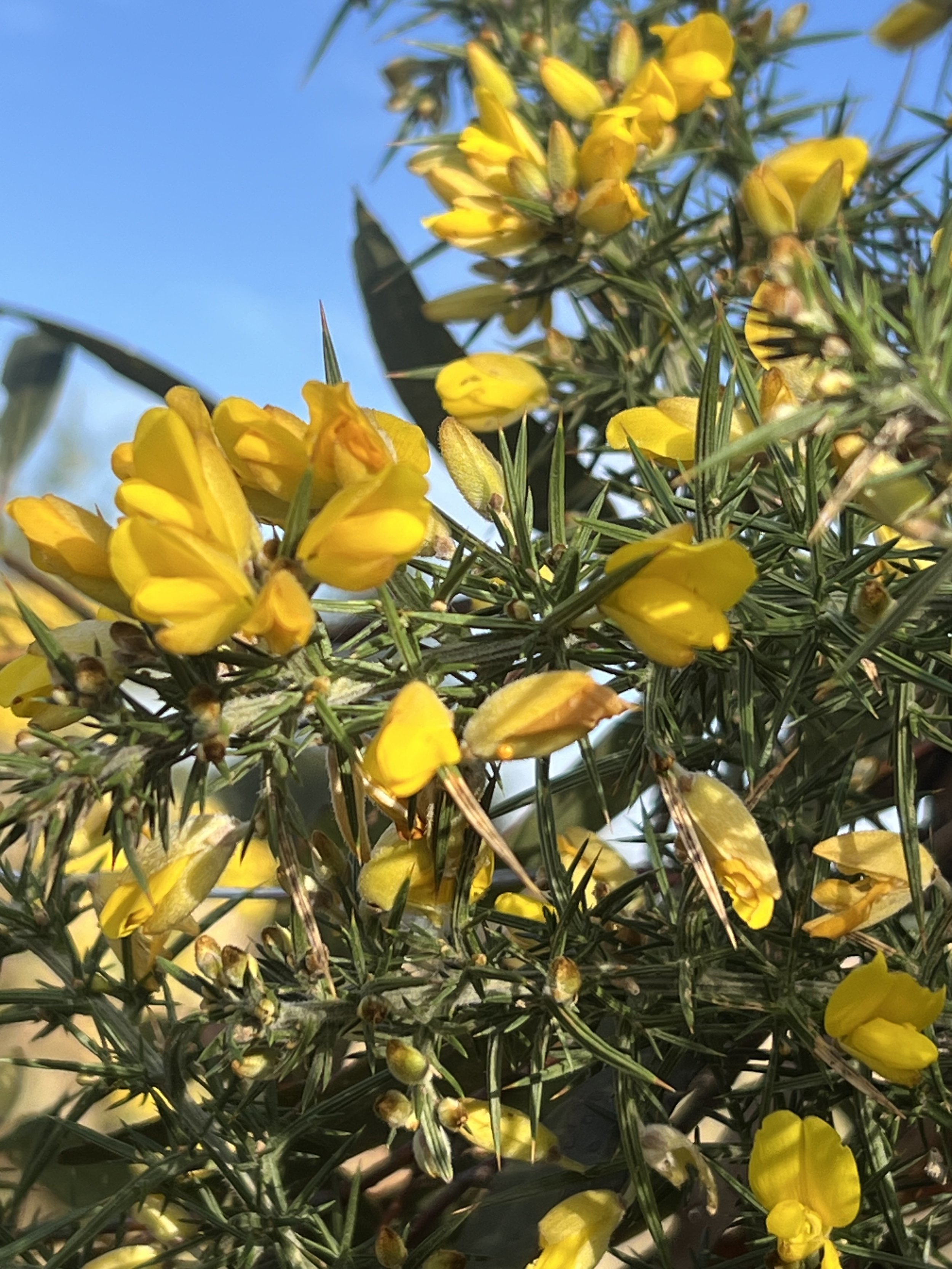
Weed Management Plans
Development of targeted weed management plans focused on the identification and control of priority high threat weed species. Informed by site assessments and best-practice control recommendations, these plans deliver staged, weed management aligned with project and environmental objectives.
Identification and mapping of high threat weeds
Site assessments to identify key drivers of weed spread
Clear and achievable long and short term targets for weed management
Development of integrated, site-specific control strategies and methodologies
Outline of operational work programs and schedules for monitoring and control
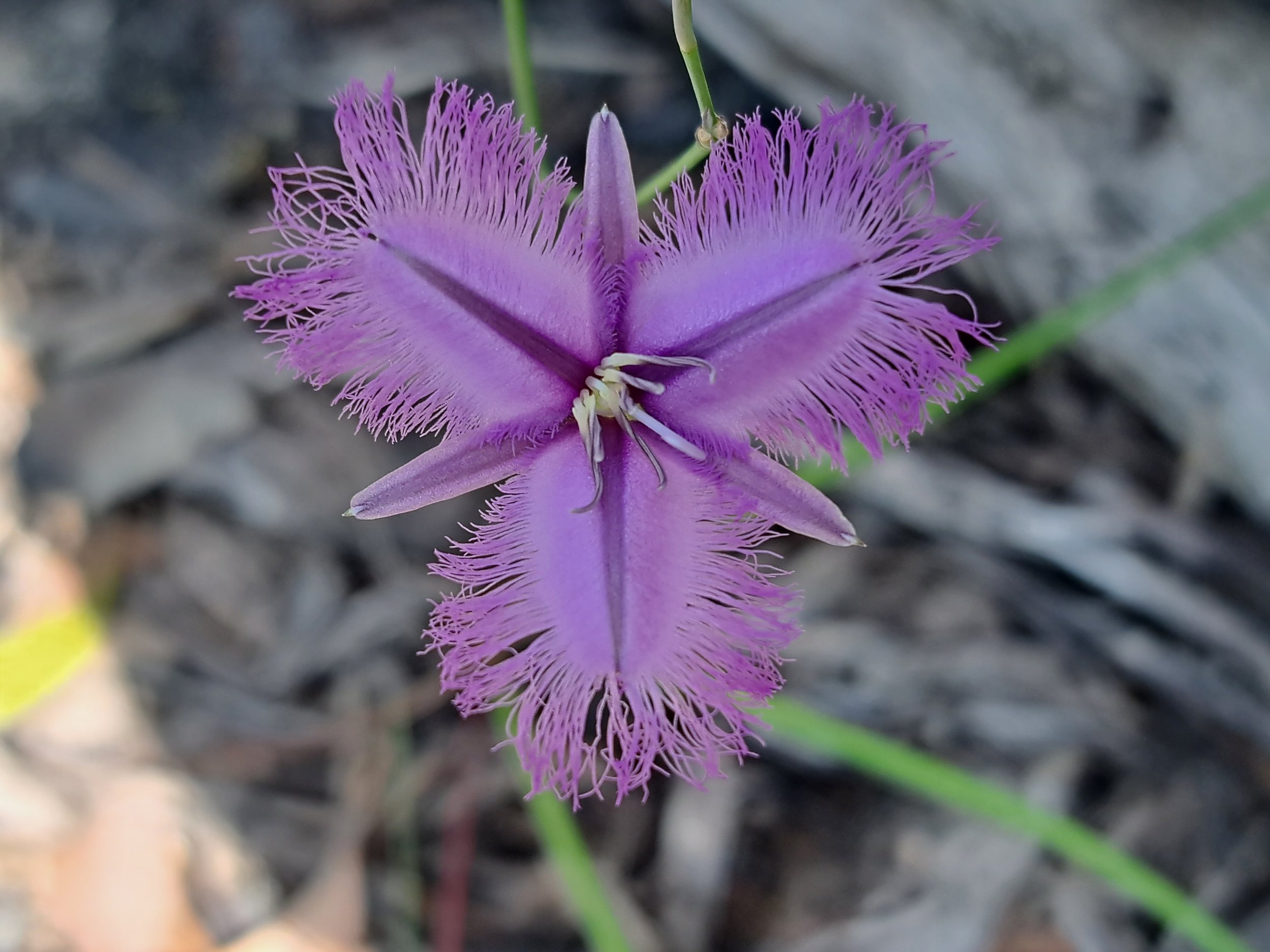
Land Management Plans
We develop strategic and operational land management plans that integrate tailored management actions and best-practice restoration approaches that are prioritised, measurable, and aligned with the clients strategic environmental objectives.
Mapping of key ecological features including EVC’s, habitat values, and rare and threatened species
Identification of threats and stressors such as weed infestations and disturbance sources
Development of site-specific management actions to achieve restoration objectives
Outline work schedules, milestones, and operational methodologies
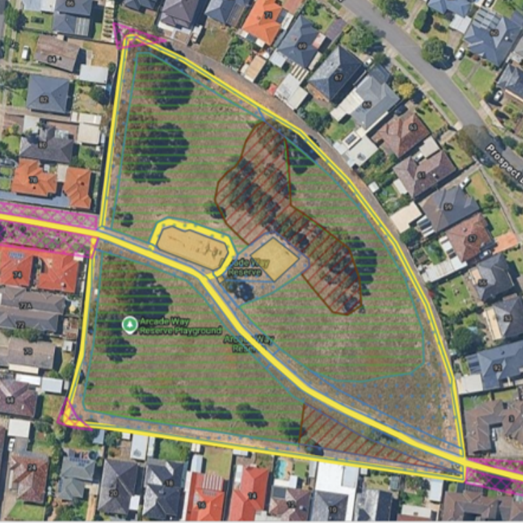
GIS mapping and Data Collection
Our GIS mapping and data collection services use industry-standard platforms and best-practice methods.
Integrate field and desktop data for robust analysis
Deliver accurate habitat and EVC mapping
Provide reliable vegetation condition assessments
Support informed planning, reporting, and on-ground management
Enable prioritisation of effective conservation and restoration outcomes